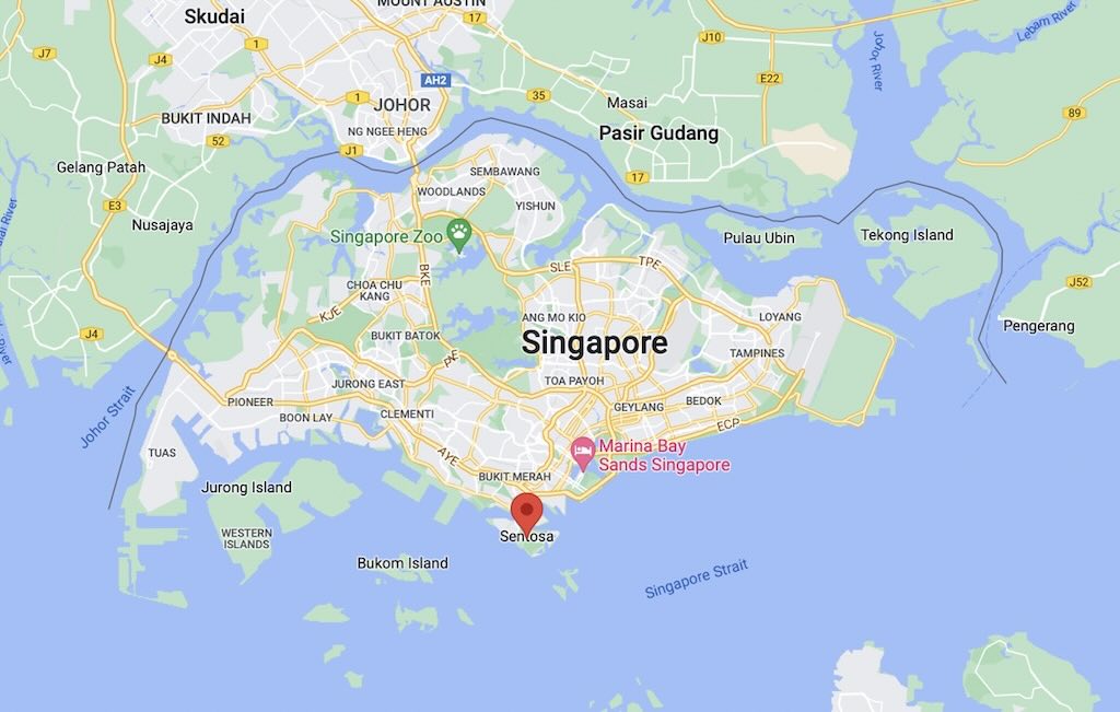
As part of our 2023 Summer roadtrip we planned to drive from our hotel in Biot to the Valle d’Aosta using the Colle di Tenda road tunnel. However the tunnel and its access roads were damaged by Storm Alex in October 2020, and repairs won’t be completed until late 2025.
So we decided to take the route up through Isola 2000, and down towards Cuneo, then on to Valle d’Aosta.
Google Maps offered a couple of options, both via Ventimiglia. Either implied a trip of about 460 kilometres and taking around 5½ hours. According to Google Maps the trip via Isola 2000 was around 420 kilometres and would take around 6 hours.
As we drove up to Isola (different from Isola 2000) we saw that the only pass not open was the Col de la Lombarde (2347 meters).
Having committed to this route the only option was to take another Col further up the valley. Google Maps has this alternative route at about 490 kilometres (so about 70 kilometres more), but taking a little less than 7½ hours (2 hours more).
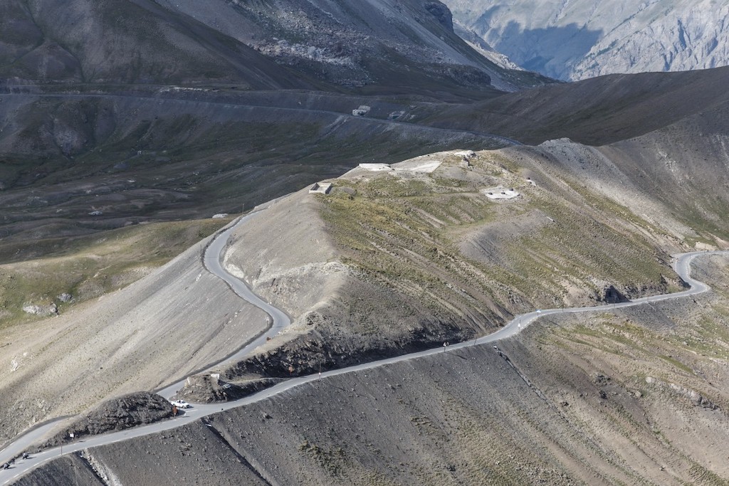
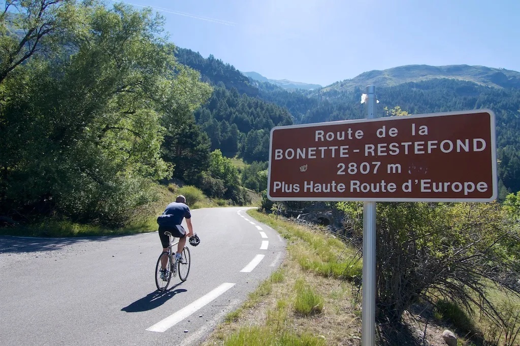
The drive took us along the River Tinée, through Jausiers, and along the Route de la Bonette, which touches 2802 meters (though Wikipedia only mentions 2680 meters, whilst others mention 2715 meters). Then down to the Col de La Madeleine (1993 meters) on the French-Italian boarder. The route has been called both the highest mountain route in Europe, and the highest trans-national crossing in Europe. This route was last used in the 2008 Tour de France, won by the ‘clean’ Carlos Sastre.
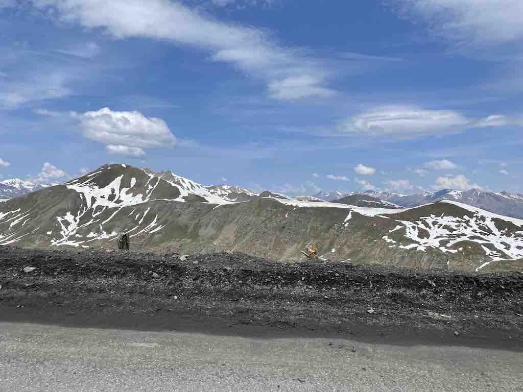
Above we can see a car making the 180° turn at the top of the Route de la Bonette. We stopped to take the photo shown below.
Finally we arrived in Cuneo, and could continue our route to the Valle d’Aosta.
Despite the estimate of Google Maps we made the whole trip in around 6 hours 40 minutes (including a quick stop for a coffee before Turin). In fact we saw more motorbikes, bicycles and marmots across the mountain routes than cars.
